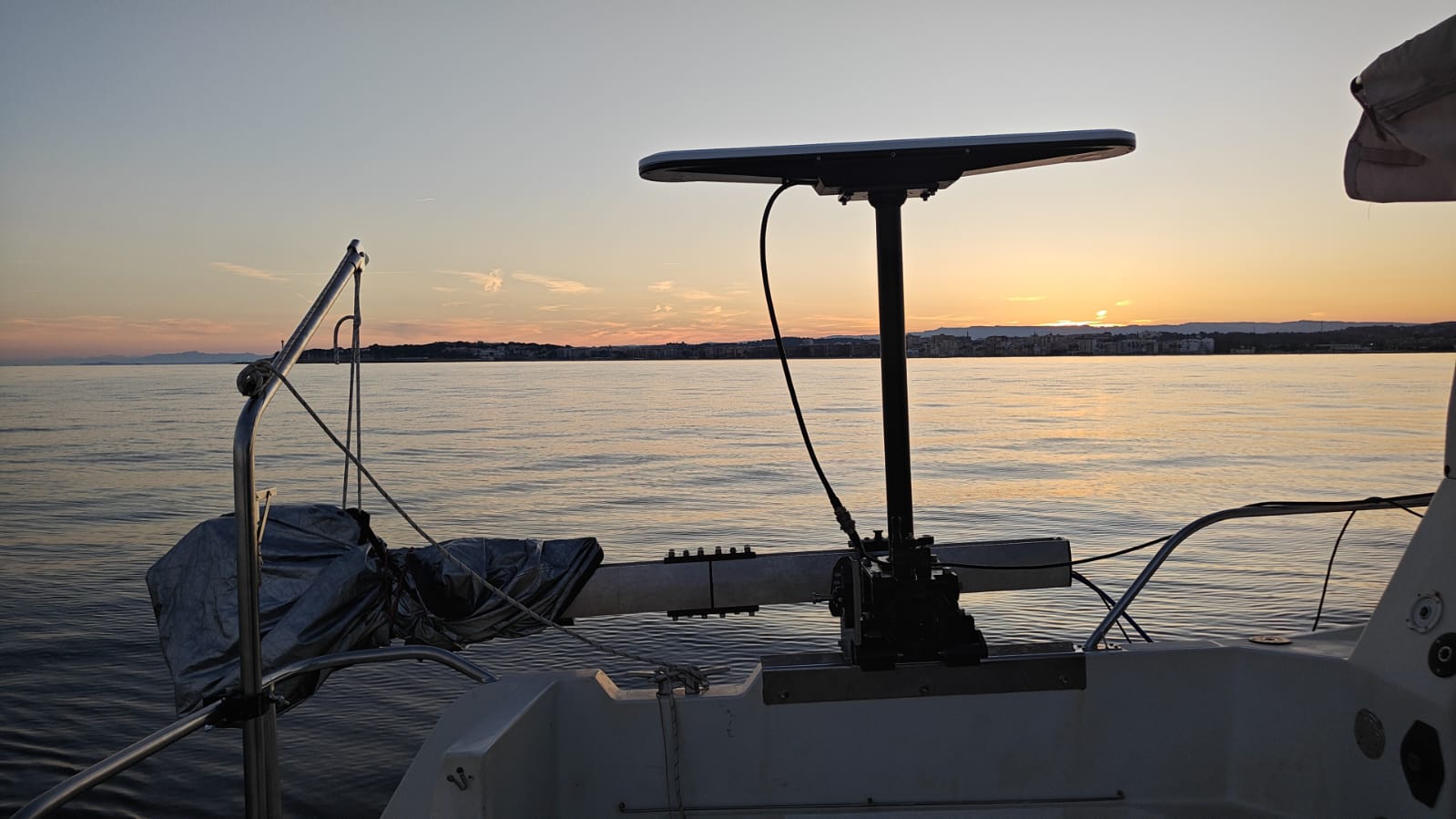
Image 1. Multibeam echosounder (MBES) secured during transit.
At the end of May, the OCEAN CITIZEN team returned to the waters off Torredembarra, on the Catalan coast, for the fourth research campaign of the project. Over four intensive days they worked both above and below the surface to better understand the environmental conditions that shape Mediterranean coral forests and to monitor ongoing restoration efforts.
Mapping the underwater landscape
One of the first tasks during the campaign was to carry out multibeam surveys across several restoration sites and nearby rocky outcrops. Multibeam echosounder allows researchers to produce highly detailed maps of the seafloor, revealing the shape of the terrain and helping identify suitable habitats for coral restoration. Throughout the campaign, several areas at different depths were surveyed, generating valuable data for future analyses. Understanding the underwater landscape is essential because even small differences in topography can influence water movement, sediment accumulation and the distribution of marine life.
Exploring gorgonian forests with divers and ROVs
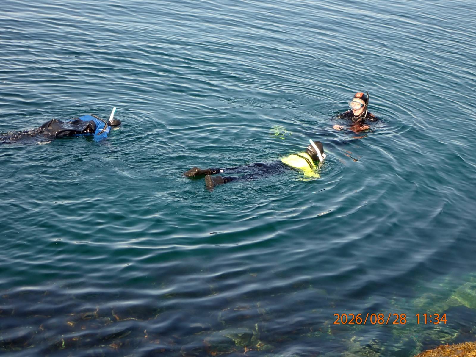
Scientific diving remained a key component of the campaign. Divers documented previously transplanted corals and surveyed juvenile colonies growing around the Biòtop restoration site, providing valuable information on the progress of the restoration effort.
The team also used remotely operated vehicles (ROVs) to explore the mesophotic gorgonian forests located on the deeper rocky outcrops. These surveys allow researchers to assess the condition of the gorgonian populations and the associated community. During the campaign, the ROVs also recorded video specifically for photogrammetry. By combining hundreds of overlapping images, photogrammetry makes it possible to reconstruct highly detailed three-dimensional models of the seafloor and coral habitats. These digital models provide accurate measurements of habitat complexity and create a permanent record that can be revisited to monitor changes through time.
Measuring the underwater environment
Understanding coral forests also requires understanding the environment in which they live. During the campaign, the team carried out thirteen CTD casts to measure the physical properties of the water column. These measurements provide essential environmental information that helps interpret the biological observations.
The team also recovered, serviced and redeployed three tilt current meters. These instruments measure the speed and direction of water currents using an internal accelerometer, providing long-term information about local hydrodynamic conditions.
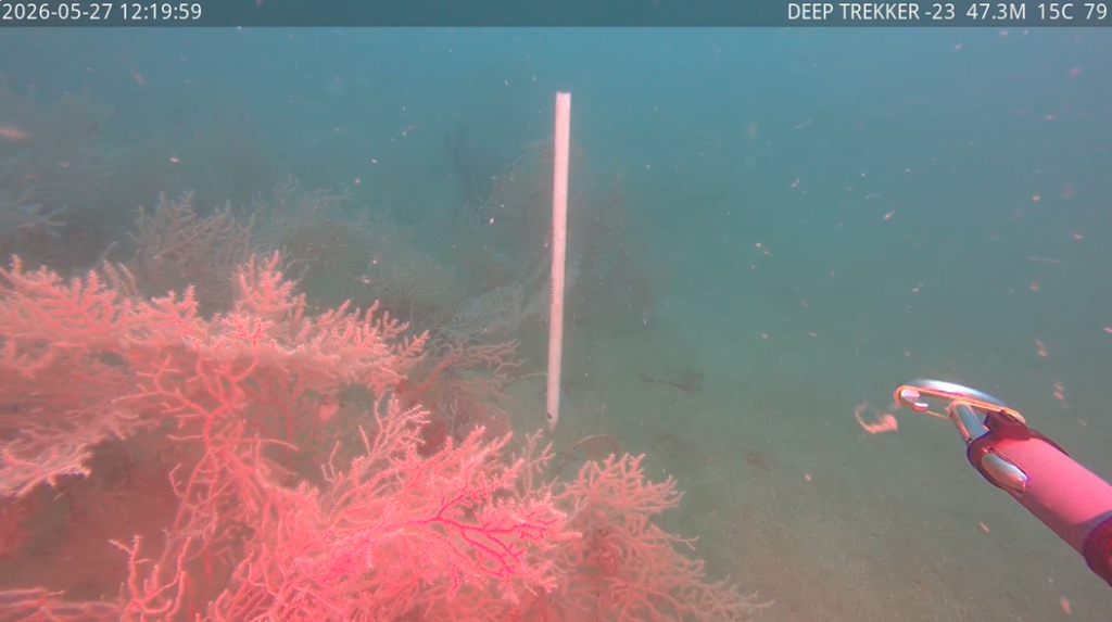
Image 2. Tilt current meter acquiring data in the gorgonian forest before recovering it.
Gorgonian restoration
As part of the restoration work, fragments of the gorgonian Leptogorgia sarmentosa were collected from healthy donor colonies near Cambrils, with each fragment originating from a different colony to maximise genetic diversity. Small tissue samples were preserved for future genetic analyses, while the remaining fragments were prepared for deployment by attaching them to epoxy bases and later fixing them onto specially prepared stones. The following day, these coral-bearing stones were deployed together with gravel and cobbles at several restoration sites between the mesophotic outcrops, where their survival and establishment will be monitored over time.
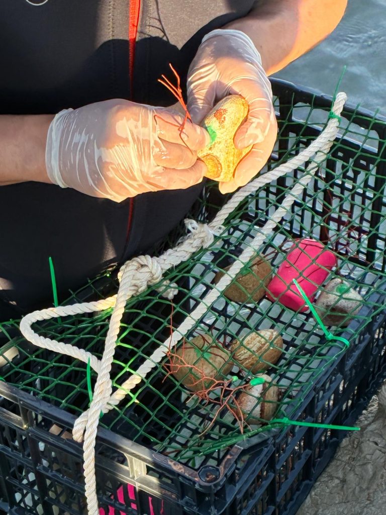
Image 3. Fragments of the gorgonian Leptogorgia sarmentosa being attached to the rocks.